 The Tarland Catchment Initiative
The Tarland Catchment Initiative
INTRODUCTION
 Increasingly there is a requirement to develop and
adopt management strategies to help deal with improving river corridor habitats
and diffuse pollution (e.g. the Water Framework Directive). As a part of this
change in emphasis the Tarland Catchment Initiative aims to bring scientists,
regulators and the local community together to both understand the relationship
between land management and how it can be improved using simple pragmatic
measures.
Increasingly there is a requirement to develop and
adopt management strategies to help deal with improving river corridor habitats
and diffuse pollution (e.g. the Water Framework Directive). As a part of this
change in emphasis the Tarland Catchment Initiative aims to bring scientists,
regulators and the local community together to both understand the relationship
between land management and how it can be improved using simple pragmatic
measures.
Furthermore the data and methods used will be undertaken in accessible locations allowing the work to be used as a demonstration available for others to learn from.
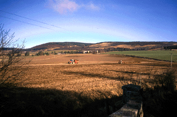
Within the Catchment there are a range of land use types. On the upper slopes heather moorland gives way to plantation forestry which in turn meets the upper fields of the farms in which beef cattle and sheep are grazed. Interspersed between fields of improved grass. At the centre of the Howe lies the village of Tarland.
You will find further details on the work programme page.
PowerPoint presentation by Simon Langan (PDF)