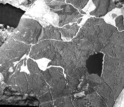
As you move around the map, the associated values with that point will appear in the boxes.
You have a non-Javascript browser, and therefore nothing will happen as you move over the map. If you had Netscape 3.0 or above, however, then you would see the data relating to the location change as you move the mouse over the image.
NOTE: The data are not correct at the moment. Only the technique is being demonstrated
Back to Administration