Garden Tiger Moth photographed by Gabor Pozsgai Visit www.photogabor.com This page has been mothballed.

It is no longer being updated but we've left it here for reference.

Further information


Basins being studied within the Hydalp project

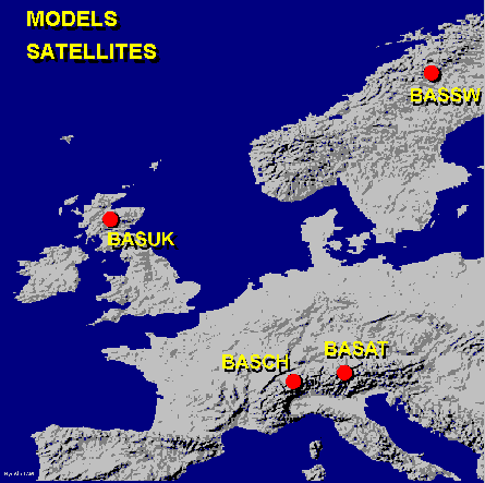
The map below indicates the location of the basins being studied within HYDALP.
Further information will be added in the near future.

Location of HYDALP study catchments

Weather forecasts - from Yahoo
BASUK | BASSW | BASAT | BASCH
Todays satellite image of Europe
Images of BASAT Images of BASUK Images of BASCH Images of BASSW SRM - The Snowmelt Runoff Model For participants only Satellites providing data for the project

LANDSAT 5 TM ERS SAR
  • Background
  • Example image
  • Current location of ERS1 and ERS2 - data derived from GSOC
NOAA 15 AVHRR PAN SPOT
  • Background
  • Example image
  • Current location of SPOT3 and SPOT4 - data derived from GSOC
RESURS
  • Background
  • Example image
  • Current location of RESURS - data derived from GSOC
RADARSAT
  • Background
  • Example image
  • Current location of RADARSAT - data derived from GSOC

| Participants | Photo Gallery | WWW resources | HydAlp homepage
r.dunham@macaulay.ac.uk - 19th November, 1998.
BASUK data BASSW data BASAT data Data for BASCH Models used in HYDALP Satellites used by HYDALP