CEO Project 1997-1999
BASAT boundary
BASAT DEM
BASAT Meteorological data
BASAT Runoff data
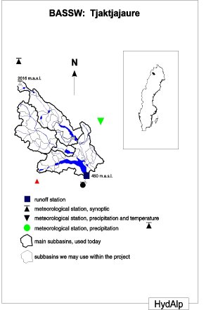
BASSW boundary and quick-look
BASSW DEM
BASSW Land Cover
BASCH Aspect (90 deg)
BASCH Aspect (raster)
BASCH Aspect (45 deg)
BASCH Boundary
BASCH Contours (digitized)
BASCH Contours (computed)
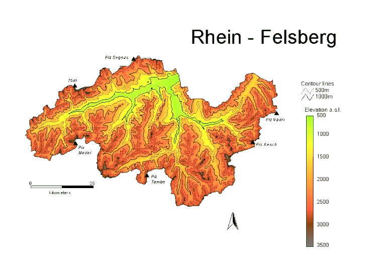
BASCH Elevation zones and quick-look
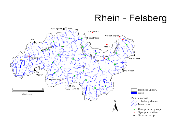
BASCH Hydromet Stations
BASCH Lakes
BASCH Rivers and quick-look
BASCH Extract from National DEM
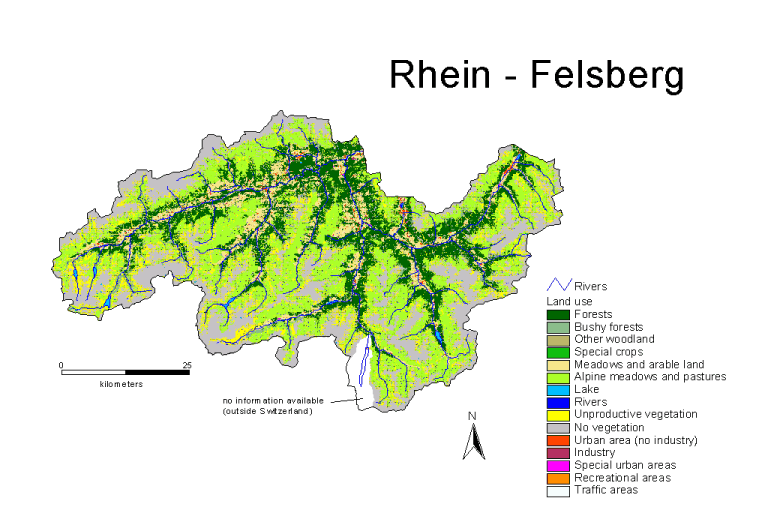
BASCH Swiss National Land Use Statistics (CORINE representaion)
BASCH Swiss National Land Use Statistics (15 classes) and quick-look
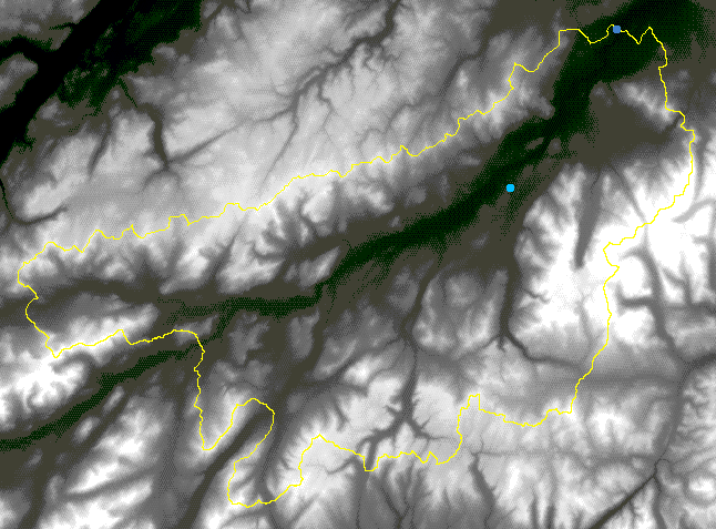
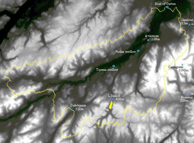
BASUK boundary and quick-look
Spey catchment Land Cover Classification (LCS88) quick-look only
Land Cover Scotland 1988 (LCS88) 33 Classes
Land Cover Scotland 1988 (LCS88) 33 Classes - Classification Type I for HYDALP requirements
Landsat TM 5 near-real colour image of Glen Feshie quick-look only
BASUK Meteorological dataand quick-look
BASUK Hydrological data
BASUK Digital Elevation Model
| Description | Objective | Participants | WWW resources | PROJECT home page |
Last modified: April 16th 1998